
Geographical situation
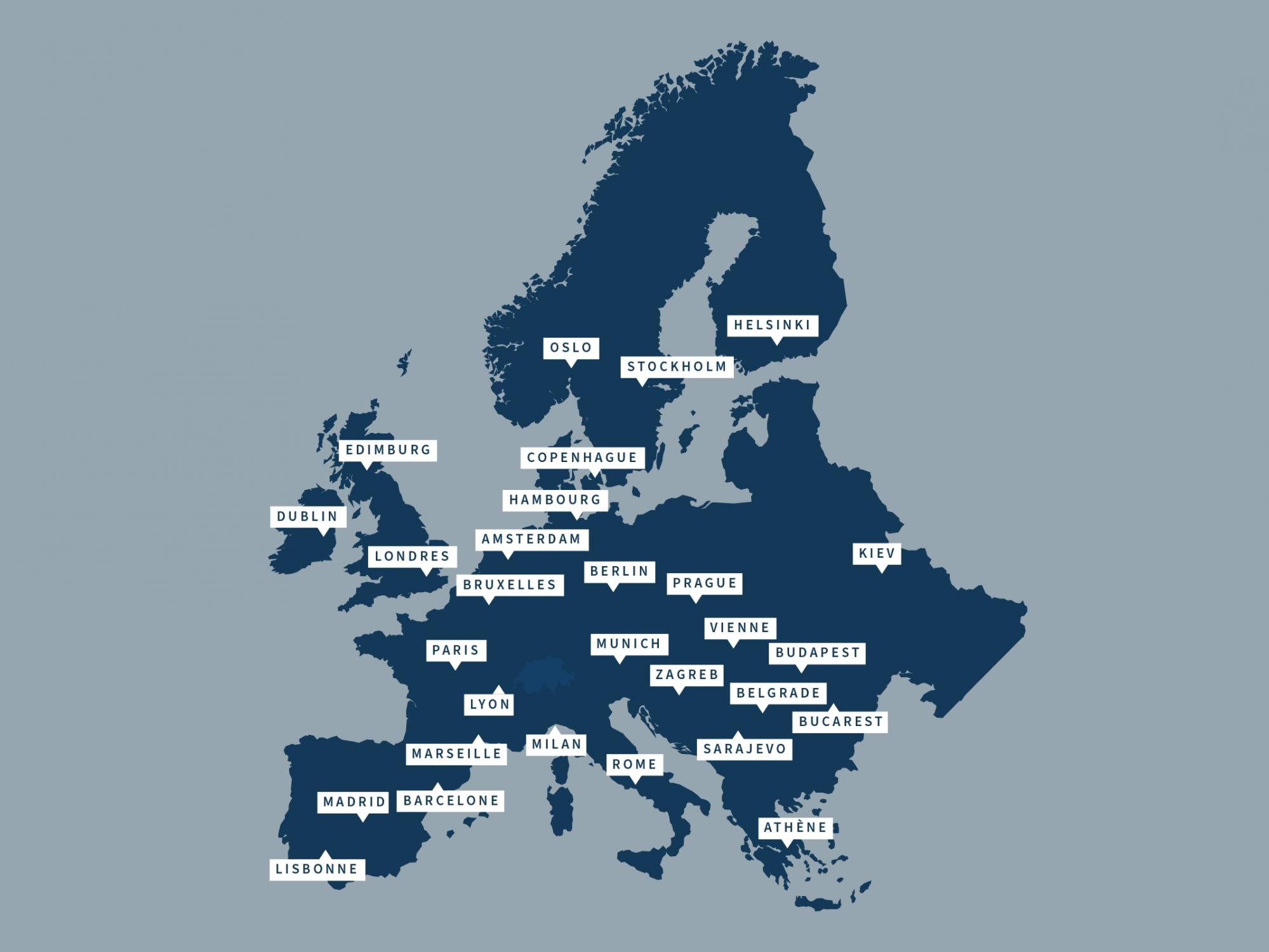
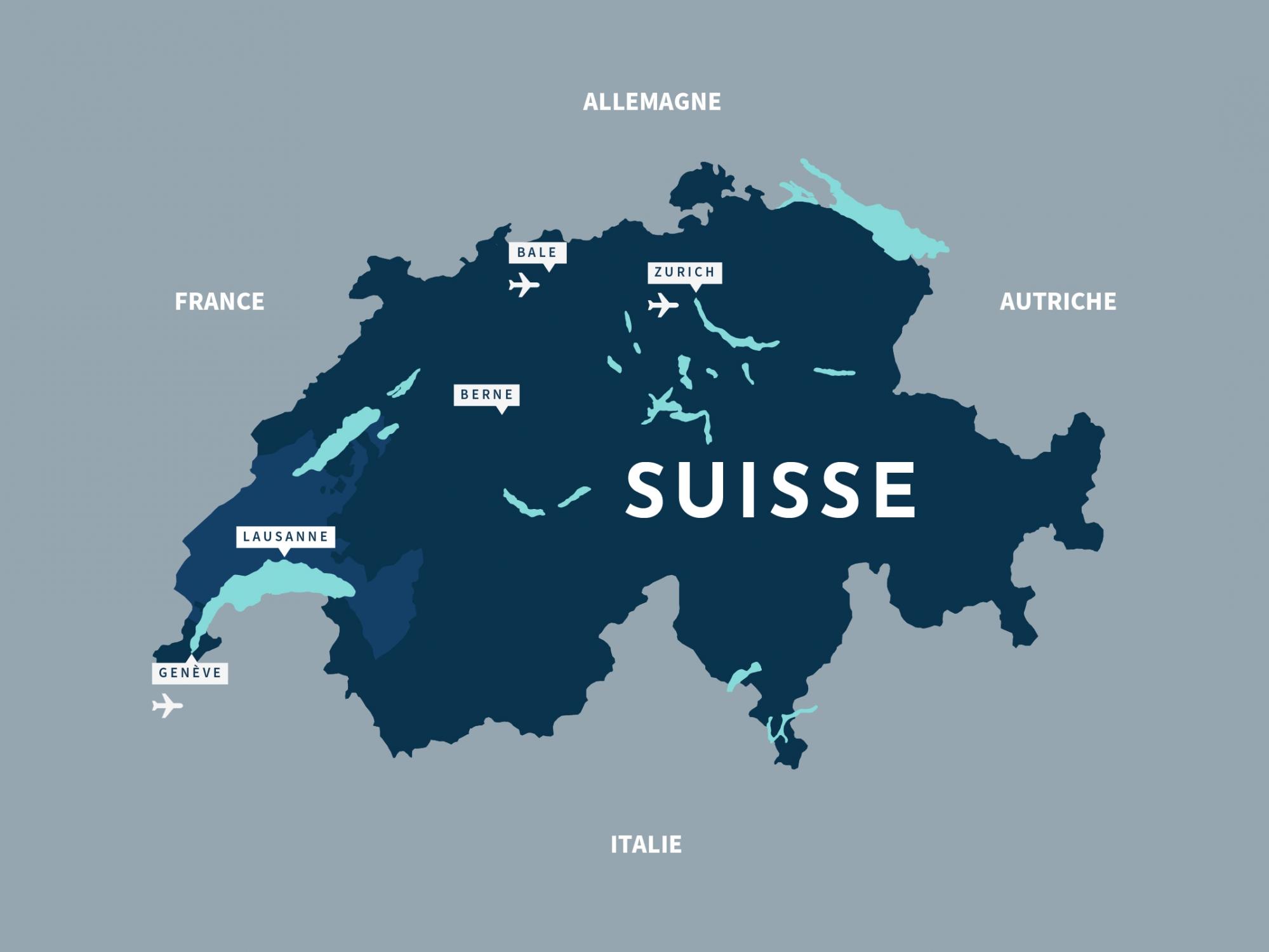
The canton of Vaud is ideally located in the Lake Geneva Region, in the south-west of Switzerland and near the Alps.
The canton of Vaud - Lake Geneva Region is part of French-speaking Switzerland, usually called “Romandie”. With an area of 3,212 square kilometres, Vaud is Romandie’s largest canton and one of Switzerland’s largest (26 cantons in total). Its neighbours are France as well as the Swiss cantons of Geneva, Neuchâtel, Fribourg, Berne and Valais. Sometimes seen as an epitome of Switzerland, the Vaudois territory strikes a nice balance between towns, countryside, lakes, rivers, vineyards and mountains (the Alps and the Jura). This variety delights visitors who pass easily - and on the same day - from the mild shores of Lake Geneva to the snow at the glacier of Les Diablerets, the highest point of the canton of Vaud (3,209 m).
Total area: 3,212 square km (7.8% of the Swiss territory)
Agricultural surface: 1,336 square km, of which 39 square km are vineyards
Forest surface: 1,037 square km
Unproductive surface: 516 square km
Inhabited and infrastructure areas: 321 square km
Lowest point: Lake Geneva (372 m)
(Source: OFS, Swiss area statistics)